Explore the profiles of this year’s graduating class.
Alejandra Caro Arambula
Collaborative Landscapes
This project is defined by placing new measures on the landscape and searching for new relationships between two different land uses. Adjacent to the Manchester Ship Canal and Mersey Estuary the area is characterised by the juxtaposition of agriculture; and landfill from the construction of the ship canal. Currently, the area suffers from artificially sustained agricultural practice, pollution, and loss of identity.
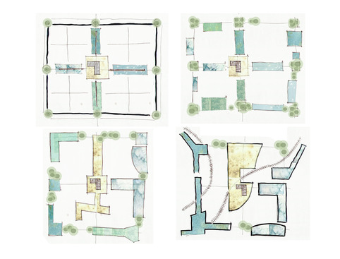
The strategy uses the Ordnance Survey National Grid as an unseen organising element utilising multiple grid scales to define potential points of intervention.
The aim is to establish a collaborative landscape through diversifying agriculture as a sustainable element, enhancing biodiversity through the subtleties of integrated occupation and to create ‘social farms’ on the landfill site to function places for biotechnology and research.
